Sol Legare Island

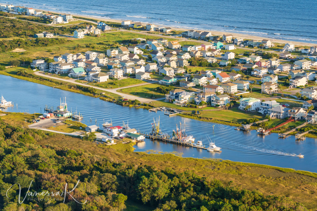
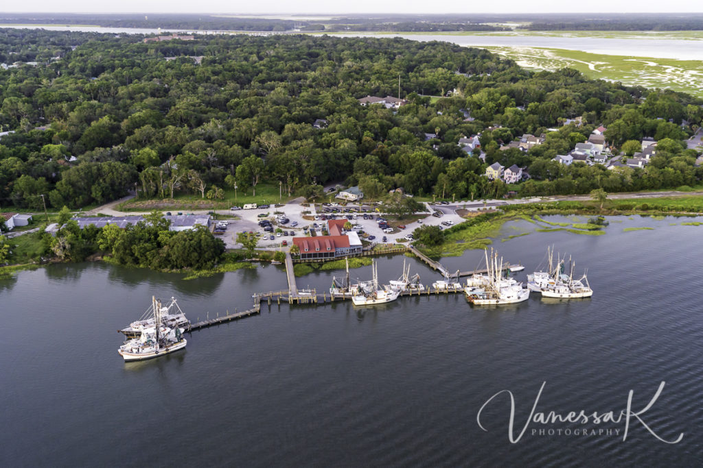
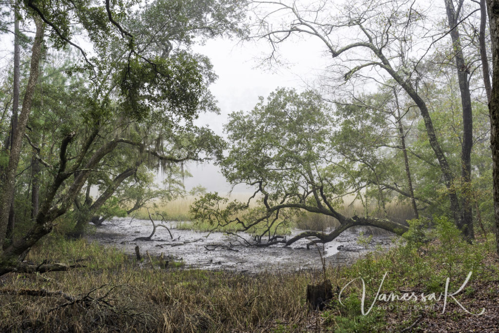
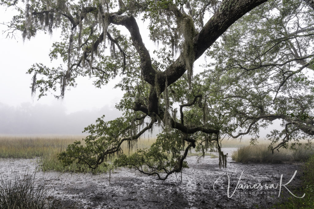
The Sol Legare and Kings Flats area has an incredible history. “During the Civil War, the 54th Regiment Massachusetts Volunteer Infantry was one of the first sanctioned African American regiments in the Union Army. The 54th fought on this narrow strip of land in 1863 during the Battle of Sol Legare. While fighting to free enslaved Americans during this battle, the 54th lost 14 men, with an additional 17 wounded and 12 missing. A mere two days later they went on to fight in the Battery Wagner battle (which you can see in the movie Glory starring Denzel Washington and Morgan Freeman). In the late 1800s, newly freed enslaved Americans settled on Sol Legare to farm and fish. Many of its current residents are direct descendants of these original settlers.For more than 100 years, the Seashore Farmers’ Lodge on Sol Legare served as a community building for meetings, school, church and funerals.” (quoted from Rheosgear’s blog).

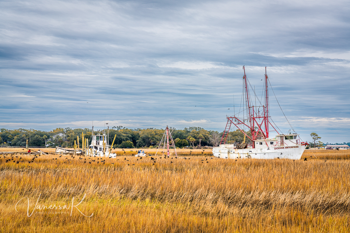
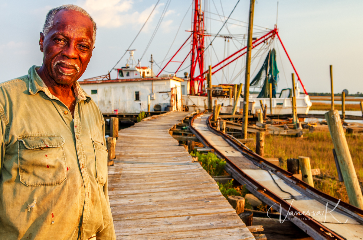
I have frequented this area over many years now. Back in the day, I would visit Thomas Backman at his seafood dock. He would usually be found working on his boat, Backman Enterprise, getting it ready to put back to sea. Sadly that never happened, since he passed away suddenly a few years back, and now the old shrimp trawler sits in mud most of the time, dreaming of better days. Here is a photo of him, taken back in 2011.

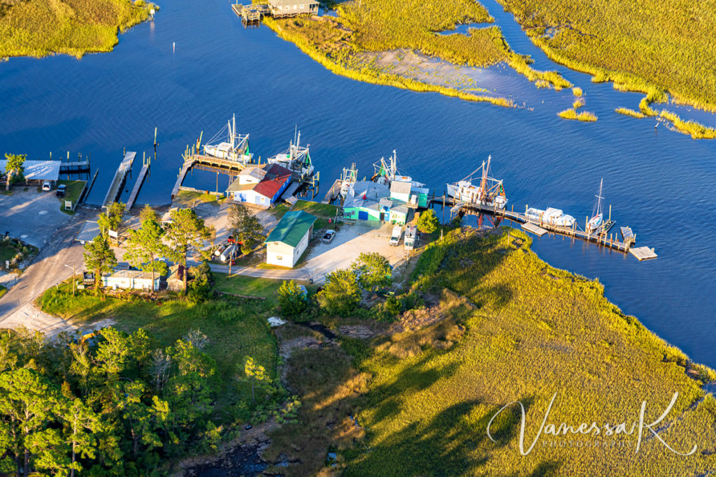
I went back down that way today, and took the following photo. Sadly his dock is now a jumbled mess of planks in the marsh, thanks to the battering of many storms and high tides. I guess some day this property will be sold and reimagined as a cluster of condos. Time marches on.

The First Day of Fall

The temperature was no indication that anything was different this morning, no obvious sign that the Northern Hemisphere had quietly drifted into the fall season, but there was fog, the first fog of the season. There’s something mysterious and beautiful about the way fog rises and dips among the trees and across the marshes and creeks. Although not strikingly obvious in these photos, the fog softened the landscape and the distant views of marsh and trees.

Birds Eye View of Southport, NC

When I fly for aerial images in Charleston, I am spoiled with being able to shoot out of a helicopter, without doors, which affords the best and widest possible viewing area. When I travel to smaller towns, helicopters are rarely available (especially at an affordable rental rate) so I made do with the next best thing, a Cessna 172 high wing plane. This is a challenge because you are constantly trying to avoid including part of the wing strut in the image. Also I find the vibration more excessive, which results in a higher percentage of blurry images. Nevertheless, it was a beautiful evening, and I was satisfied with my final collection. Enjoy the views of the area around Southport, North Carolina, definitely an area to add to your travel bucket list.

Shrimp trawlers and seafood outlets in the Lockwoods Folly River, Varnamtown, NC
Intracoastal Waterway and Atlantic Ocean, Holden Beach, NC
Old Baldy Lighthouse, Bald Head Island, NC
Harbor and Waterfront, Southport, NC

Different Views & Moods of Oak Island Lighthouse, NC

I have been very busy exploring the Northeastern part of North Carolina over the last few days. Yesterday and today was spent in the Southport area. Southport is a charming and picturesque town south of Wilmington, on the Cape Fear River. Of course I have been taking hundreds of photographs, trying to cover as much of this territory as possible in the time that I have. These images are all of Oak Island Lighthouse at different times of day and from different perspectives. It makes a change from my beloved Morris Island Lighthouse!

During the afternoon
From the air in the late afternoon
First light
Early morning

Hurrying Home Before Dark

These are the last images from the recent Savannah flight that I will post on this blog. If you want to see a wider selection, please visit www.charlestonaerials.com

Harbour Town and the Sea Pines Resort, Hilton Head Island

There is a lot that is addictive about buzzing around in the warm summer air, pretending you are a bird and looking at the world from a completely different perspective. I am already looking forward to and planning my next flight.

Shelter Cove Harbour and Marina
Hwy174 and the Dawhoo Bridge, Edisto Island
Coming in to land after sunset at Charleston International Airport

Port Royal & Parris Island

Parris Island

One of my aerial targets on the recent trip down to Savannah was the Beaufort area. These images specifically cover the area of Port Royal and Parris Island. The sun was setting as we circled and the flooded marshes and creeks reflected the sky. What a privilege to live in the lowcountry!

Fishcamp on 11th Street with shrimp trawlers
Parris Island, Battery Creek, and Ribaut Road
Port Royal Reach and Battery Creek, SC